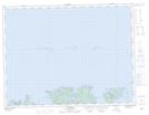
Maps showing Gunning Point, Newfoundland and Labrador
Gunning Point is a Cape located in Newfoundland and Labrador.
- Latitude: 49° 32' 8'' North (decimal: 49.5355816)
- Longitude: 55° 20' 19'' West (decimal: -55.3385816)
- Topography Feature Category: Cape
- Geographical Feature: Point
- Canadian Province/Territory: Newfoundland and Labrador
- Atlas of Canada Locator Map: Gunning Point
- GPS Coordinate Locator Map: Gunning Point Lat/Long