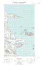
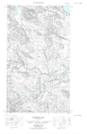
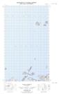
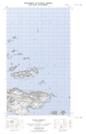
Maps showing Paddys Cove, Eagle River, Newfoundland and Labrador
Paddys Cove is a Bay located in Eagle River, Newfoundland and Labrador.
- Latitude: 53° 46' 40'' North (decimal: 53.7777211)
- Longitude: 56° 59' 44'' West (decimal: -56.9955127)
- Topography Feature Category: Bay
- Geographical Feature: Cove
- Canadian Province/Territory: Newfoundland and Labrador
- Location: Eagle River
- Atlas of Canada Locator Map: Paddys Cove
- GPS Coordinate Locator Map: Paddys Cove Lat/Long
Paddys Cove NTS Map Sheets