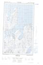
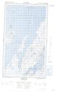
Maps showing Tom's Point, Newfoundland and Labrador
Tom's Point is a Cape located in Newfoundland and Labrador and has an elevation of 2 meters.
- Latitude: 55° 6' 17'' North (decimal: 55.1046269)
- Longitude: 59° 13' 34'' West (decimal: -59.2260693)
- Topography Feature Category: Cape
- Geographical Feature: Point
- Canadian Province/Territory: Newfoundland and Labrador
- Elevation: 2 meters
- Atlas of Canada Locator Map: Tom's Point
- GPS Coordinate Locator Map: Tom's Point Lat/Long
Tom's Point NTS Map Sheets