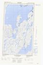
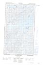
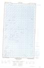
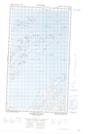
Maps showing Antons Island, Torngat Mountains, Newfoundland and Labrador
Antons Island is a Island located in Torngat Mountains, Newfoundland and Labrador.
- Latitude: 55° 15' 11'' North (decimal: 55.2530558)
- Longitude: 59° 34' 52'' West (decimal: -59.5811758)
- Topography Feature Category: Island
- Geographical Feature: Island
- Canadian Province/Territory: Newfoundland and Labrador
- Location: Torngat Mountains
- Atlas of Canada Locator Map: Antons Island
- GPS Coordinate Locator Map: Antons Island Lat/Long
Antons Island NTS Map Sheets