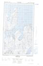
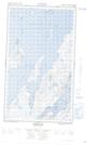
Maps showing The Sisters Islands, Torngat Mountains, Newfoundland and Labrador
The Sisters Islands is a Island located in Torngat Mountains, Newfoundland and Labrador.
- Latitude: 55° 13' 41'' North (decimal: 55.2279251)
- Longitude: 59° 7' 39'' West (decimal: -59.1276176)
- Topography Feature Category: Island
- Geographical Feature: Islands
- Canadian Province/Territory: Newfoundland and Labrador
- Location: Torngat Mountains
- Atlas of Canada Locator Map: The Sisters Islands
- GPS Coordinate Locator Map: The Sisters Islands Lat/Long
The Sisters Islands NTS Map Sheets