Canada Topographic Maps

Upper Brook Topo Maps

Topography maps and Latitude/Longitude Location

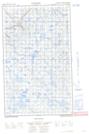
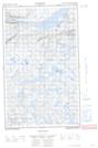
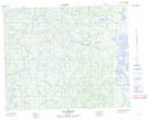
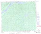
Maps showing Upper Brook, Naskaupi, Newfoundland and Labrador

Upper Brook is a River located in Naskaupi, Newfoundland and Labrador and has an elevation of 67 meters.

  • Latitude: 53° 10' 10'' North   (decimal: 53.1694444)
  • Longitude: 60° 56' 1'' West   (decimal: -60.9336111)
  • Topography Feature Category: River
  • Geographical Feature: Brook
  • Canadian Province/Territory: Newfoundland and Labrador
  • Elevation: 67 meters
  • Location: Naskaupi
  • Atlas of Canada Locator Map: Upper Brook
  • GPS Coordinate Locator Map: Upper Brook Lat/Long

Upper Brook NTS Map Sheets

013C14E No Title Topographic Map at 1:50,000 scale

013C14W No Title Topographic Map at 1:50,000 scale

013C15 Lac Mercier Topographic Map at 1:50,000 scale

013F02 Mckenzie River Topographic Map at 1:50,000 scale

013F03 Pinus River Topographic Map at 1:50,000 scale

013C Minipi Lake Topographic Map at 1:250,000 scale

013F Goose Bay Topographic Map at 1:250,000 scale

 
Buy Topographic Maps DVD
Newsletter Sign-up

Yes, I want to receive map store discounts.


Bookmark and Share