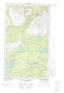
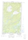
Maps showing Muskrat Pond, Torngat Mountains, Newfoundland and Labrador
Muskrat Pond is a Lake located in Torngat Mountains, Newfoundland and Labrador.
- Latitude: 54° 38' 32'' North (decimal: 54.6422222)
- Longitude: 58° 33' 29'' West (decimal: -58.5580555)
- Topography Feature Category: Lake
- Geographical Feature: Pond
- Canadian Province/Territory: Newfoundland and Labrador
- Location: Torngat Mountains
- Atlas of Canada Locator Map: Muskrat Pond
- GPS Coordinate Locator Map: Muskrat Pond Lat/Long
Muskrat Pond NTS Map Sheets