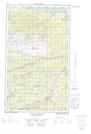
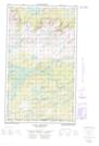
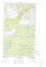
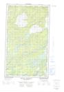
Maps showing Tessialuk Pond, Torngat Mountains, Newfoundland and Labrador
Tessialuk Pond is a Lake located in Torngat Mountains, Newfoundland and Labrador.
- Latitude: 54° 40' 19'' North (decimal: 54.6719444)
- Longitude: 58° 27' 55'' West (decimal: -58.4652777)
- Topography Feature Category: Lake
- Geographical Feature: Pond
- Canadian Province/Territory: Newfoundland and Labrador
- Location: Torngat Mountains
- Atlas of Canada Locator Map: Tessialuk Pond
- GPS Coordinate Locator Map: Tessialuk Pond Lat/Long
Tessialuk Pond NTS Map Sheets