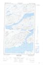
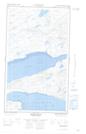
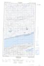
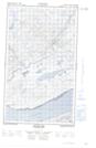
Maps showing Double Mer Barrens, Torngat Mountains, Newfoundland and Labrador
Double Mer Barrens is a Low vegetation located in Torngat Mountains, Newfoundland and Labrador and has an elevation of 0 meters.
- Latitude: 54° 12' 0'' North (decimal: 54.2000000)
- Longitude: 59° 9' 57'' West (decimal: -59.1658333)
- Topography Feature Category: Low vegetation
- Geographical Feature: Barrens
- Canadian Province/Territory: Newfoundland and Labrador
- Elevation: 0 meters
- Location: Torngat Mountains
- Atlas of Canada Locator Map: Double Mer Barrens
- GPS Coordinate Locator Map: Double Mer Barrens Lat/Long
Double Mer Barrens NTS Map Sheets