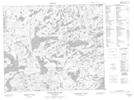
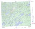
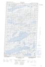
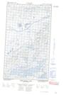
Maps showing South Branch, Torngat Mountains, Newfoundland and Labrador
South Branch is a River located in Torngat Mountains, Newfoundland and Labrador and has an elevation of 174 meters.
- Latitude: 54° 37' 50'' North (decimal: 54.6305555)
- Longitude: 60° 31' 55'' West (decimal: -60.5319444)
- Topography Feature Category: River
- Geographical Feature: Branch
- Canadian Province/Territory: Newfoundland and Labrador
- Elevation: 174 meters
- Location: Torngat Mountains
- Atlas of Canada Locator Map: South Branch
- GPS Coordinate Locator Map: South Branch Lat/Long
South Branch NTS Map Sheets
013K06 Pocket Knife Lake Topographic Map at 1:50,000 scale
013K07 No Title Topographic Map at 1:50,000 scale
013K09E West Micmac Lake Topographic Map at 1:50,000 scale
013K09W West Micmac Lake Topographic Map at 1:50,000 scale
013K10 Kaipokok River Topographic Map at 1:50,000 scale
013K Snegamook Lake Topographic Map at 1:250,000 scale
013K07 No Title Topographic Map at 1:50,000 scale
013K09E West Micmac Lake Topographic Map at 1:50,000 scale
013K09W West Micmac Lake Topographic Map at 1:50,000 scale
013K10 Kaipokok River Topographic Map at 1:50,000 scale
013K Snegamook Lake Topographic Map at 1:250,000 scale