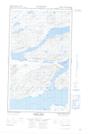
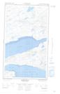
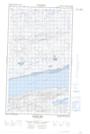
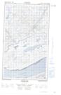
Maps showing Big Brook, Torngat Mountains, Newfoundland and Labrador
Big Brook is a River located in Torngat Mountains, Newfoundland and Labrador.
- Latitude: 54° 8' 15'' North (decimal: 54.1375716)
- Longitude: 58° 55' 2'' West (decimal: -58.9171061)
- Topography Feature Category: River
- Geographical Feature: Brook
- Canadian Province/Territory: Newfoundland and Labrador
- Location: Torngat Mountains
- Atlas of Canada Locator Map: Big Brook
- GPS Coordinate Locator Map: Big Brook Lat/Long
Big Brook NTS Map Sheets