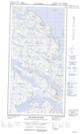
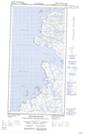
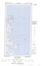
Maps showing Killiniq Island, Torngat Mountains, Newfoundland and Labrador
Killiniq Island is a Island located in Torngat Mountains, Newfoundland and Labrador and has an elevation of 1 meters.
- Latitude: 60° 23' 35'' North (decimal: 60.3929347)
- Longitude: 64° 39' 27'' West (decimal: -64.6574392)
- Topography Feature Category: Island
- Geographical Feature: Island
- Canadian Province/Territory: Newfoundland and Labrador
- Elevation: 1 meters
- Location: Torngat Mountains
- Atlas of Canada Locator Map: Killiniq Island
- GPS Coordinate Locator Map: Killiniq Island Lat/Long
Killiniq Island NTS Map Sheets