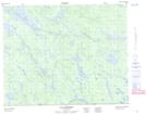
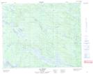
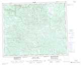
Maps showing Arvert Lake, Naskaupi, Newfoundland and Labrador
Arvert Lake is a Lake located in Naskaupi, Newfoundland and Labrador and has an elevation of 417 meters.
- Latitude: 52° 17' 30'' North (decimal: 52.2916666)
- Longitude: 61° 45' 27'' West (decimal: -61.7575000)
- Topography Feature Category: Lake
- Geographical Feature: Pond
- Canadian Province/Territory: Newfoundland and Labrador
- Elevation: 417 meters
- Location: Naskaupi
- Atlas of Canada Locator Map: Arvert Lake
- GPS Coordinate Locator Map: Arvert Lake Lat/Long
Arvert Lake NTS Map Sheets