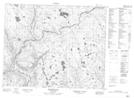
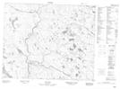
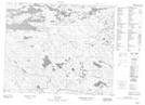
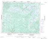
Maps showing St. Augustin River, Eagle River, Newfoundland and Labrador
St. Augustin River is a River located in Eagle River, Newfoundland and Labrador.
- Latitude: 52° 0' 0'' North (decimal: 52)
- Longitude: 59° 22' 43'' West (decimal: -59.3785998)
- Topography Feature Category: River
- Geographical Feature: River
- Canadian Province/Territory: Newfoundland and Labrador
- Location: Eagle River
- Atlas of Canada Locator Map: St. Augustin River
- GPS Coordinate Locator Map: St. Augustin River Lat/Long
St. Augustin River NTS Map Sheets