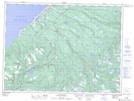
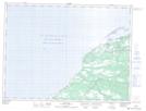
Maps showing Bay St. George South, St. George's, Newfoundland and Labrador
Bay St. George South is a Unincorporated area located in St. George's, Newfoundland and Labrador.
- Latitude: 48° 12' 30'' North (decimal: 48.2083333)
- Longitude: 58° 48' 59'' West (decimal: -58.8163888)
- Topography Feature Category: Unincorporated area
- Geographical Feature: Local Service District
- Canadian Province/Territory: Newfoundland and Labrador
- Location: St. George's
- Atlas of Canada Locator Map: Bay St. George South
- GPS Coordinate Locator Map: Bay St. George South Lat/Long
Bay St. George South NTS Map Sheets