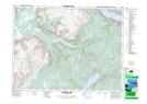
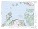
Maps showing Humber Arm South, Bay of Islands, Newfoundland and Labrador
Humber Arm South is a Town located in Bay of Islands, Newfoundland and Labrador.
- Latitude: 49° 0' 56'' North (decimal: 49.0156499)
- Longitude: 58° 10' 4'' West (decimal: -58.1677166)
- Topography Feature Category: Town
- Geographical Feature: Town
- Canadian Province/Territory: Newfoundland and Labrador
- Location: Bay of Islands
- Atlas of Canada Locator Map: Humber Arm South
- GPS Coordinate Locator Map: Humber Arm South Lat/Long
Humber Arm South NTS Map Sheets