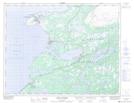
Maps showing Airport Pond, Newfoundland and Labrador
Airport Pond is a Lake located in Newfoundland and Labrador.
- Latitude: 50° 41' 29'' North (decimal: 50.6914799)
- Longitude: 57° 19' 4'' West (decimal: -57.3177596)
- Topography Feature Category: Lake
- Geographical Feature: Pond
- Canadian Province/Territory: Newfoundland and Labrador
- Atlas of Canada Locator Map: Airport Pond
- GPS Coordinate Locator Map: Airport Pond Lat/Long
Airport Pond NTS Map Sheets