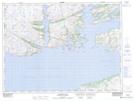
Maps showing Patricks Harbour, Newfoundland and Labrador
Patricks Harbour is a Bay located in Newfoundland and Labrador.
- Latitude: 47° 36' 54'' North (decimal: 47.6149898)
- Longitude: 56° 2' 1'' West (decimal: -56.0335000)
- Topography Feature Category: Bay
- Geographical Feature: Harbour
- Canadian Province/Territory: Newfoundland and Labrador
- Atlas of Canada Locator Map: Patricks Harbour
- GPS Coordinate Locator Map: Patricks Harbour Lat/Long