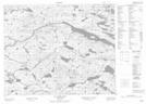
Maps showing Beaver Brook, Newfoundland and Labrador
Beaver Brook is a River located in Newfoundland and Labrador.
- Latitude: 52° 29' 51'' North (decimal: 52.4975099)
- Longitude: 56° 11' 43'' West (decimal: -56.1953499)
- Topography Feature Category: River
- Geographical Feature: Brook
- Canadian Province/Territory: Newfoundland and Labrador
- Atlas of Canada Locator Map: Beaver Brook
- GPS Coordinate Locator Map: Beaver Brook Lat/Long
Beaver Brook NTS Map Sheets