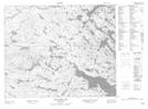
Maps showing Peters Brook, Newfoundland and Labrador
Peters Brook is a River located in Newfoundland and Labrador.
- Latitude: 52° 49' 32'' North (decimal: 52.8255998)
- Longitude: 56° 7' 48'' West (decimal: -56.1300098)
- Topography Feature Category: River
- Geographical Feature: Brook
- Canadian Province/Territory: Newfoundland and Labrador
- Atlas of Canada Locator Map: Peters Brook
- GPS Coordinate Locator Map: Peters Brook Lat/Long
Peters Brook NTS Map Sheets