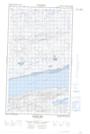
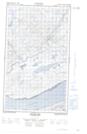
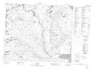
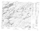
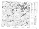
Maps showing Partridge Point Brook, Torngat Mountains, Newfoundland and Labrador
Partridge Point Brook is a River located in Torngat Mountains, Newfoundland and Labrador.
- Latitude: 54° 2' 7'' North (decimal: 54.0353531)
- Longitude: 59° 30' 17'' West (decimal: -59.5046235)
- Topography Feature Category: River
- Geographical Feature: Brook
- Canadian Province/Territory: Newfoundland and Labrador
- Location: Torngat Mountains
- Atlas of Canada Locator Map: Partridge Point Brook
- GPS Coordinate Locator Map: Partridge Point Brook Lat/Long
Partridge Point Brook NTS Map Sheets