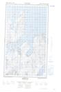
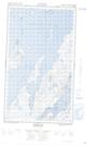
Maps showing Ranger Bight Brook, Torngat Mountains, Newfoundland and Labrador
Ranger Bight Brook is a River located in Torngat Mountains, Newfoundland and Labrador and has an elevation of 39 meters.
- Latitude: 55° 4' 56'' North (decimal: 55.0821302)
- Longitude: 59° 12' 6'' West (decimal: -59.2017139)
- Topography Feature Category: River
- Geographical Feature: Creek
- Canadian Province/Territory: Newfoundland and Labrador
- Elevation: 39 meters
- Location: Torngat Mountains
- Atlas of Canada Locator Map: Ranger Bight Brook
- GPS Coordinate Locator Map: Ranger Bight Brook Lat/Long
Ranger Bight Brook NTS Map Sheets