Canada Topographic Maps

Dollard Pond Topo Maps

Topography maps and Latitude/Longitude Location

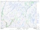
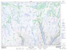
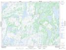
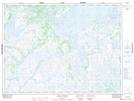
Maps showing Dollard Pond, Newfoundland and Labrador

Dollard Pond is a Lake located in Newfoundland and Labrador.

  • Latitude: 48° 0' 42'' North   (decimal: 48.0116388)
  • Longitude: 56° 30' 16'' West   (decimal: -56.5043663)
  • Topography Feature Category: Lake
  • Geographical Feature: Pond
  • Canadian Province/Territory: Newfoundland and Labrador
  • Atlas of Canada Locator Map: Dollard Pond
  • GPS Coordinate Locator Map: Dollard Pond Lat/Long

Dollard Pond NTS Map Sheets

011P15 Dolland Brook Topographic Map at 1:50,000 scale

011P16 D'Espoir Brook Topographic Map at 1:50,000 scale

012A01 Cold Spring Pond Topographic Map at 1:50,000 scale

012A02 Wolf Mountain Topographic Map at 1:50,000 scale

011P Burgeo Topographic Map at 1:250,000 scale

012A Red Indian Lake Topographic Map at 1:250,000 scale

 
Buy Topographic Maps DVD
Newsletter Sign-up

Yes, I want to receive map store discounts.


Bookmark and Share