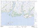
Maps showing Har Sands, Newfoundland and Labrador
Har Sands is a Beach located in Newfoundland and Labrador.
- Latitude: 47° 36' 50'' North (decimal: 47.6138799)
- Longitude: 57° 3' 5'' West (decimal: -57.0514798)
- Topography Feature Category: Beach
- Geographical Feature: Shore
- Canadian Province/Territory: Newfoundland and Labrador
- Atlas of Canada Locator Map: Har Sands
- GPS Coordinate Locator Map: Har Sands Lat/Long