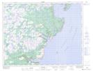
Maps showing Twillingate Head, Newfoundland and Labrador
Twillingate Head is a Cape located in Newfoundland and Labrador.
- Latitude: 50° 38' 21'' North (decimal: 50.6392398)
- Longitude: 56° 7' 48'' West (decimal: -56.1299498)
- Topography Feature Category: Cape
- Geographical Feature: Head
- Canadian Province/Territory: Newfoundland and Labrador
- Atlas of Canada Locator Map: Twillingate Head
- GPS Coordinate Locator Map: Twillingate Head Lat/Long
Twillingate Head NTS Map Sheets