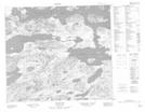
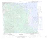
Maps showing Natuashish 2, Newfoundland and Labrador
Natuashish 2 is a Indian Reserve located in Newfoundland and Labrador.
- Latitude: 55° 55' 13'' North (decimal: 55.9202776)
- Longitude: 61° 10' 47'' West (decimal: -61.1797221)
- Topography Feature Category: Indian Reserve
- Geographical Feature: Indian Reserve - Réserve indienne
- Canadian Province/Territory: Newfoundland and Labrador
- Atlas of Canada Locator Map: Natuashish 2
- GPS Coordinate Locator Map: Natuashish 2 Lat/Long