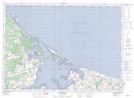
Maps showing Darnley Island, Prince, Prince Edward Island
Darnley Island is a Island located in Prince, Prince Edward Island.
- Latitude: 46° 33' North (decimal: 46.5499999)
- Longitude: 63° 42' West (decimal: -63.6999999)
- Topography Feature Category: Island
- Geographical Feature: Island
- Canadian Province/Territory: Prince Edward Island
- Location: Prince
- GPS Coordinate Locator Map: Darnley Island Lat/Long
Darnley Island NTS Map Sheets