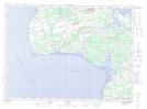
Maps showing Vanier Provincial Park, Prince Edward Island
Vanier Provincial Park is a Conservation area located in Prince Edward Island.
- Latitude: 46° 45' North (decimal: 46.7499999)
- Longitude: 64° 11' West (decimal: -64.1833000)
- Topography Feature Category: Conservation area
- Geographical Feature: Provincial Park
- Canadian Province/Territory: Prince Edward Island
- GPS Coordinate Locator Map: Vanier Provincial Park Lat/Long