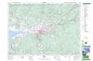
Maps showing Debert Range, Colchester, Nova Scotia
Debert Range is a Military area located in Colchester, Nova Scotia.
- Latitude: 45° 26' 33'' North (decimal: 45.4425000)
- Longitude: 63° 28' 25'' West (decimal: -63.4736111)
- Topography Feature Category: Military area
- Geographical Feature: C.F.T.A.
- Canadian Province/Territory: Nova Scotia
- Location: Colchester
- Atlas of Canada Locator Map: Debert Range
- GPS Coordinate Locator Map: Debert Range Lat/Long