Canada Topographic Maps

Annapolis Valley Topo Maps

Topography maps and Latitude/Longitude Location

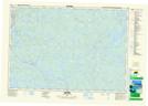
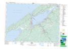
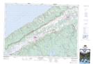
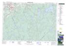
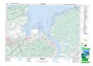
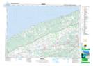
Maps showing Annapolis Valley, Kings; Annapolis, Nova Scotia

Annapolis Valley is a Valley located in Kings; Annapolis, Nova Scotia and has an elevation of 16 meters.

  • Latitude: 45° 0' North   (decimal: 45.0000000)
  • Longitude: 64° 55' West   (decimal: -64.9158333)
  • Topography Feature Category: Valley
  • Geographical Feature: Valley
  • Canadian Province/Territory: Nova Scotia
  • Elevation: 16 meters
  • Location: Kings; Annapolis
  • Atlas of Canada Locator Map: Annapolis Valley
  • GPS Coordinate Locator Map: Annapolis Valley Lat/Long

Annapolis Valley NTS Map Sheets

021A11 Milford Topographic Map at 1:50,000 scale

021A12 Digby Topographic Map at 1:50,000 scale

021A13 Granville Ferry Topographic Map at 1:50,000 scale

021A14 Bridgetown Topographic Map at 1:50,000 scale

021A15 Gaspereau Lake Topographic Map at 1:50,000 scale

021H01 Wolfville Topographic Map at 1:50,000 scale

021H02 Berwick Topographic Map at 1:50,000 scale

021A Annapolis Royal Topographic Map at 1:250,000 scale

021H Amherst Topographic Map at 1:250,000 scale

 
Buy Topographic Maps DVD
Newsletter Sign-up

Yes, I want to receive map store discounts.


Bookmark and Share