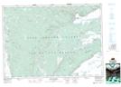
Maps showing Blue Mills, Nova Scotia
Blue Mills is a Unincorporated area located in Nova Scotia.
- Latitude: 45° 56' North (decimal: 45.9333333)
- Longitude: 61° 11' West (decimal: -61.1825000)
- Topography Feature Category: Unincorporated area
- Geographical Feature: Settlement
- Canadian Province/Territory: Nova Scotia
- GPS Coordinate Locator Map: Blue Mills Lat/Long