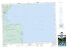
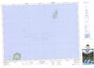
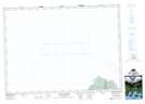
Maps showing Cabot Strait, Victoria, Nova Scotia
Cabot Strait is a Channel located in Victoria, Nova Scotia and has an elevation of 0 meters.
- Latitude: 47° 2' 27'' North (decimal: 47.0408333)
- Longitude: 60° 11' 23'' West (decimal: -60.1897222)
- Topography Feature Category: Channel
- Geographical Feature: Strait
- Canadian Province/Territory: Nova Scotia
- Elevation: 0 meters
- Location: Victoria
- Atlas of Canada Locator Map: Cabot Strait
- GPS Coordinate Locator Map: Cabot Strait Lat/Long
Cabot Strait NTS Map Sheets