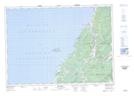
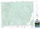
Maps showing Cranton Section, Nova Scotia
Cranton Section is a Unincorporated area located in Nova Scotia.
- Latitude: 46° 21' North (decimal: 46.3499999)
- Longitude: 61° 00' West (decimal: -60.9991666)
- Topography Feature Category: Unincorporated area
- Geographical Feature: Dispersed Rural Community
- Canadian Province/Territory: Nova Scotia
- GPS Coordinate Locator Map: Cranton Section Lat/Long
Cranton Section NTS Map Sheets