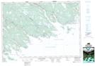
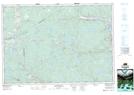
Maps showing Eastern Fork Stream, Nova Scotia
Eastern Fork Stream is a River located in Nova Scotia.
- Latitude: 45° 15' North (decimal: 45.2499999)
- Longitude: 61° 34' West (decimal: -61.5658333)
- Topography Feature Category: River
- Geographical Feature: Stream
- Canadian Province/Territory: Nova Scotia
- GPS Coordinate Locator Map: Eastern Fork Stream Lat/Long
Eastern Fork Stream NTS Map Sheets