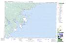
Maps showing Jacket Island, Nova Scotia
Jacket Island is a Island located in Nova Scotia.
- Latitude: 43° 54' North (decimal: 43.9000000)
- Longitude: 64° 47' West (decimal: -64.7825000)
- Topography Feature Category: Island
- Geographical Feature: Island
- Canadian Province/Territory: Nova Scotia
- GPS Coordinate Locator Map: Jacket Island Lat/Long
Jacket Island NTS Map Sheets