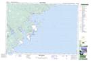
Maps showing London Brook, Nova Scotia
London Brook is a River located in Nova Scotia.
- Latitude: 43° 52' North (decimal: 43.8666666)
- Longitude: 64° 55' West (decimal: -64.9158333)
- Topography Feature Category: River
- Geographical Feature: Brook
- Canadian Province/Territory: Nova Scotia
- GPS Coordinate Locator Map: London Brook Lat/Long
London Brook NTS Map Sheets