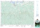
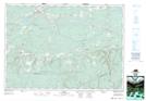
Maps showing Mattatall Lake, Nova Scotia
Mattatall Lake is a Unincorporated area located in Nova Scotia.
- Latitude: 45° 41' North (decimal: 45.6833333)
- Longitude: 63° 29' West (decimal: -63.4825000)
- Topography Feature Category: Unincorporated area
- Geographical Feature: Dispersed Rural Community
- Canadian Province/Territory: Nova Scotia
- GPS Coordinate Locator Map: Mattatall Lake Lat/Long
Mattatall Lake NTS Map Sheets