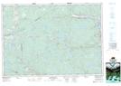
Maps showing McNaughton, Nova Scotia
McNaughton is a Unincorporated area located in Nova Scotia and has an elevation of 179 meters.
- Latitude: 45° 27' North (decimal: 45.4499999)
- Longitude: 61° 53' West (decimal: -61.8824999)
- Topography Feature Category: Unincorporated area
- Geographical Feature: Dispersed Rural Community
- Canadian Province/Territory: Nova Scotia
- Elevation: 179 meters
- GPS Coordinate Locator Map: McNaughton Lat/Long