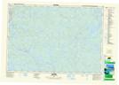
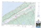
Maps showing Mochelle, Nova Scotia
Mochelle is a Unincorporated area located in Nova Scotia and has an elevation of 18 meters.
- Latitude: 44° 45' 17'' North (decimal: 44.7547222)
- Longitude: 65° 27' 39'' West (decimal: -65.4608333)
- Topography Feature Category: Unincorporated area
- Geographical Feature: Dispersed Rural Community
- Canadian Province/Territory: Nova Scotia
- Elevation: 18 meters
- Atlas of Canada Locator Map: Mochelle
- GPS Coordinate Locator Map: Mochelle Lat/Long
Mochelle NTS Map Sheets