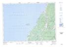
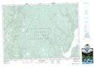
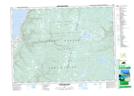
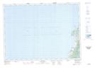
Maps showing Pembroke Lake, Inverness, Nova Scotia
Pembroke Lake is a Lake located in Inverness, Nova Scotia and has an elevation of 385 meters.
- Latitude: 46° 29' 47'' North (decimal: 46.4963888)
- Longitude: 60° 59' 45'' West (decimal: -60.9958333)
- Topography Feature Category: Lake
- Geographical Feature: Lake
- Canadian Province/Territory: Nova Scotia
- Elevation: 385 meters
- Location: Inverness
- Atlas of Canada Locator Map: Pembroke Lake
- GPS Coordinate Locator Map: Pembroke Lake Lat/Long
Pembroke Lake NTS Map Sheets