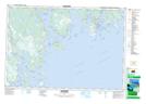
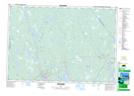
Maps showing Reids Hill, Shelburne, Nova Scotia
Reids Hill is a Mountain located in Shelburne, Nova Scotia and has an elevation of 62 meters.
- Latitude: 43° 45' North (decimal: 43.75)
- Longitude: 65° 21' West (decimal: -65.3491666)
- Topography Feature Category: Mountain
- Geographical Feature: Hill
- Canadian Province/Territory: Nova Scotia
- Elevation: 62 meters
- Location: Shelburne
- Atlas of Canada Locator Map: Reids Hill
- GPS Coordinate Locator Map: Reids Hill Lat/Long
Reids Hill NTS Map Sheets