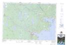
Maps showing Smiths Point, Nova Scotia
Smiths Point is a Cape located in Nova Scotia.
- Latitude: 44° 8' North (decimal: 44.1333333)
- Longitude: 64° 36' West (decimal: -64.5991666)
- Topography Feature Category: Cape
- Geographical Feature: Point
- Canadian Province/Territory: Nova Scotia
- GPS Coordinate Locator Map: Smiths Point Lat/Long
Smiths Point NTS Map Sheets