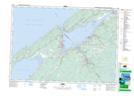
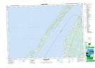
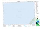
Maps showing St. Marys Bay Shoal, Digby, Nova Scotia
St. Marys Bay Shoal is a Shoal located in Digby, Nova Scotia.
- Latitude: 44° 31' North (decimal: 44.5166666)
- Longitude: 66° 00' West (decimal: -65.9991666)
- Topography Feature Category: Shoal
- Geographical Feature: Shoal
- Canadian Province/Territory: Nova Scotia
- Location: Digby
- Atlas of Canada Locator Map: St. Marys Bay Shoal
- GPS Coordinate Locator Map: St. Marys Bay Shoal Lat/Long
St. Marys Bay Shoal NTS Map Sheets