Canada Topographic Maps

St. Mary River Topo Maps

Topography maps and Latitude/Longitude Location

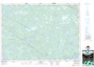
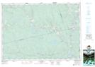
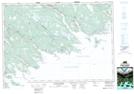
Maps showing St. Mary River, Nova Scotia

St. Mary River is a River located in Nova Scotia.

  • Latitude: 45° 2' North   (decimal: 45.0333333)
  • Longitude: 61° 53' West   (decimal: -61.8824999)
  • Topography Feature Category: River
  • Geographical Feature: River
  • Canadian Province/Territory: Nova Scotia
  • GPS Coordinate Locator Map: St. Mary River Lat/Long

St. Mary River NTS Map Sheets

011E01 Liscomb Topographic Map at 1:50,000 scale

011E08 Lochaber Topographic Map at 1:50,000 scale

011F04 Country Harbour Topographic Map at 1:50,000 scale

011E Truro Topographic Map at 1:250,000 scale

011F Canso Topographic Map at 1:250,000 scale

 
Buy Topographic Maps DVD
Newsletter Sign-up

Yes, I want to receive map store discounts.


Bookmark and Share