Canada Topographic Maps

St. Mary Bay Topo Maps

Topography maps and Latitude/Longitude Location

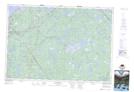
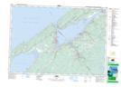
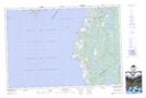
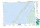
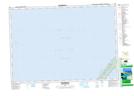
Maps showing St. Mary Bay, Nova Scotia

St. Mary Bay is a Bay located in Nova Scotia.

  • Latitude: 44° 25' North   (decimal: 44.4166666)
  • Longitude: 66° 10' West   (decimal: -66.1658333)
  • Topography Feature Category: Bay
  • Geographical Feature: Bay
  • Canadian Province/Territory: Nova Scotia
  • GPS Coordinate Locator Map: St. Mary Bay Lat/Long

St. Mary Bay NTS Map Sheets

021A05 Weymouth Topographic Map at 1:50,000 scale

021A12 Digby Topographic Map at 1:50,000 scale

021B01 Meteghan Topographic Map at 1:50,000 scale

021B08 Church Point Topographic Map at 1:50,000 scale

021B09 Centreville Topographic Map at 1:50,000 scale

021A Annapolis Royal Topographic Map at 1:250,000 scale

021B Eastport Topographic Map at 1:250,000 scale

 
Buy Topographic Maps DVD
Newsletter Sign-up

Yes, I want to receive map store discounts.


Bookmark and Share