Maps showing Colchester, Colchester, Nova Scotia
Colchester is a Major municipal/district area - major agglomeration located in Colchester, Nova Scotia.
- Latitude: 45° 20' North (decimal: 45.3333333)
- Longitude: 63° 15' West (decimal: -63.2491666)
- Topography Feature Category: Major municipal/district area - major agglomeration
- Geographical Feature: Municipal County
- Canadian Province/Territory: Nova Scotia
- Location: Colchester
- Atlas of Canada Locator Map: Colchester
- GPS Coordinate Locator Map: Colchester Lat/Long
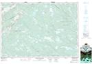
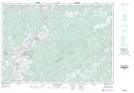
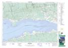
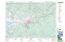
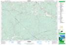
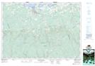
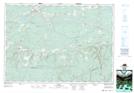
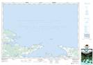
Colchester NTS Map Sheets
011E02 Upper Musquodoboit Topographic Map at 1:50,000 scale
011E03 Shubenacadie Topographic Map at 1:50,000 scale
011E05 Bass River Topographic Map at 1:50,000 scale
011E06 Truro Topographic Map at 1:50,000 scale
011E07 Hopewell Topographic Map at 1:50,000 scale
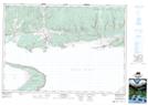
011E11 Tatamagouche Topographic Map at 1:50,000 scale
011E12 Oxford Topographic Map at 1:50,000 scale
011E14 Malagash Topographic Map at 1:50,000 scale
021H08 Parrsboro Topographic Map at 1:50,000 scale
021H09 Springhill Topographic Map at 1:50,000 scale
011E Truro Topographic Map at 1:250,000 scale
021H Amherst Topographic Map at 1:250,000 scale