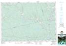
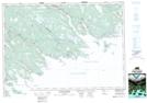
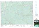
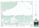
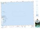
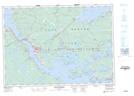
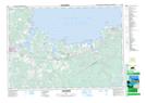
Maps showing Guysborough, Guysborough, Nova Scotia
Guysborough is a Major municipal/district area - major agglomeration located in Guysborough, Nova Scotia.
- Latitude: 45° 23' North (decimal: 45.3833333)
- Longitude: 61° 30' West (decimal: -61.4991666)
- Topography Feature Category: Major municipal/district area - major agglomeration
- Geographical Feature: Municipal District
- Canadian Province/Territory: Nova Scotia
- Location: Guysborough
- Atlas of Canada Locator Map: Guysborough
- GPS Coordinate Locator Map: Guysborough Lat/Long
Guysborough NTS Map Sheets
011E08 Lochaber Topographic Map at 1:50,000 scale
011F03 Larrys River Topographic Map at 1:50,000 scale
011F04 Country Harbour Topographic Map at 1:50,000 scale
011F05 Guysborough Topographic Map at 1:50,000 scale
011F06 Chedabucto Bay Topographic Map at 1:50,000 scale
011F07 Cape Canso Topographic Map at 1:50,000 scale
011F11 Port Hawkesbury Topographic Map at 1:50,000 scale
011F12 Antigonish Topographic Map at 1:50,000 scale
011E Truro Topographic Map at 1:250,000 scale
011F Canso Topographic Map at 1:250,000 scale