Canada Topographic Maps

St. Mary's Topo Maps

Topography maps and Latitude/Longitude Location

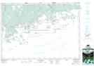
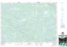
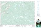
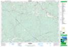
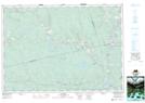
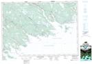
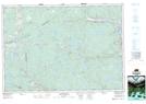
Maps showing St. Mary's, Guysborough, Nova Scotia

St. Mary's is a Major municipal/district area - major agglomeration located in Guysborough, Nova Scotia.

  • Latitude: 45° 12' North   (decimal: 45.2000000)
  • Longitude: 62° 11' West   (decimal: -62.1825000)
  • Topography Feature Category: Major municipal/district area - major agglomeration
  • Geographical Feature: Municipal District
  • Canadian Province/Territory: Nova Scotia
  • Location: Guysborough
  • Atlas of Canada Locator Map: St. Mary's
  • GPS Coordinate Locator Map: St. Mary's Lat/Long

St. Mary's NTS Map Sheets

011D16 Ecum Secum Topographic Map at 1:50,000 scale

011E01 Liscomb Topographic Map at 1:50,000 scale

011E02 Upper Musquodoboit Topographic Map at 1:50,000 scale

011E07 Hopewell Topographic Map at 1:50,000 scale

011E08 Lochaber Topographic Map at 1:50,000 scale

011F04 Country Harbour Topographic Map at 1:50,000 scale

011F05 Guysborough Topographic Map at 1:50,000 scale

011D Halifax Topographic Map at 1:250,000 scale

011E Truro Topographic Map at 1:250,000 scale

011F Canso Topographic Map at 1:250,000 scale

 
Buy Topographic Maps DVD
Newsletter Sign-up

Yes, I want to receive map store discounts.


Bookmark and Share