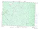
Maps showing Russell, Gloucester, New Brunswick
Russell is a Unincorporated area located in Gloucester, New Brunswick.
- Latitude: 47° 22' North (decimal: 47.3667000)
- Longitude: 65° 38' West (decimal: -65.6333000)
- Topography Feature Category: Unincorporated area
- Geographical Feature: Railway Point
- Canadian Province/Territory: New Brunswick
- Location: Gloucester
- Atlas of Canada Locator Map: Russell
- GPS Coordinate Locator Map: Russell Lat/Long
Russell NTS Map Sheets