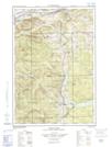
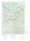
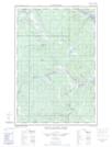
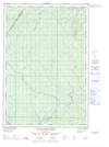
Maps showing Glasier Lake, Madawaska, New Brunswick
Glasier Lake is a Lake located in Madawaska, New Brunswick and has an elevation of 204 meters.
- Latitude: 47° 13' 32'' North (decimal: 47.2254310)
- Longitude: 68° 59' 19'' West (decimal: -68.9887326)
- Topography Feature Category: Lake
- Geographical Feature: Lake
- Canadian Province/Territory: New Brunswick
- Elevation: 204 meters
- Location: Madawaska
- Atlas of Canada Locator Map: Glasier Lake
- GPS Coordinate Locator Map: Glasier Lake Lat/Long
Glasier Lake NTS Map Sheets
021N02E Connors Topographic Map at 1:50,000 scale
021N02W Connors Topographic Map at 1:50,000 scale
021N03E Little Black River Topographic Map at 1:50,000 scale
021N03W Little Black River Topographic Map at 1:50,000 scale
021N07 Lac-Baker Topographic Map at 1:50,000 scale
021N Edmundston Topographic Map at 1:250,000 scale
021N02W Connors Topographic Map at 1:50,000 scale
021N03E Little Black River Topographic Map at 1:50,000 scale
021N03W Little Black River Topographic Map at 1:50,000 scale
021N07 Lac-Baker Topographic Map at 1:50,000 scale
021N Edmundston Topographic Map at 1:250,000 scale